Loading...
No Records Found
Sorry, no records were found. Please adjust your search criteria and try again.
Maps failed to load
Sorry, unable to load the Maps API.
Favorite
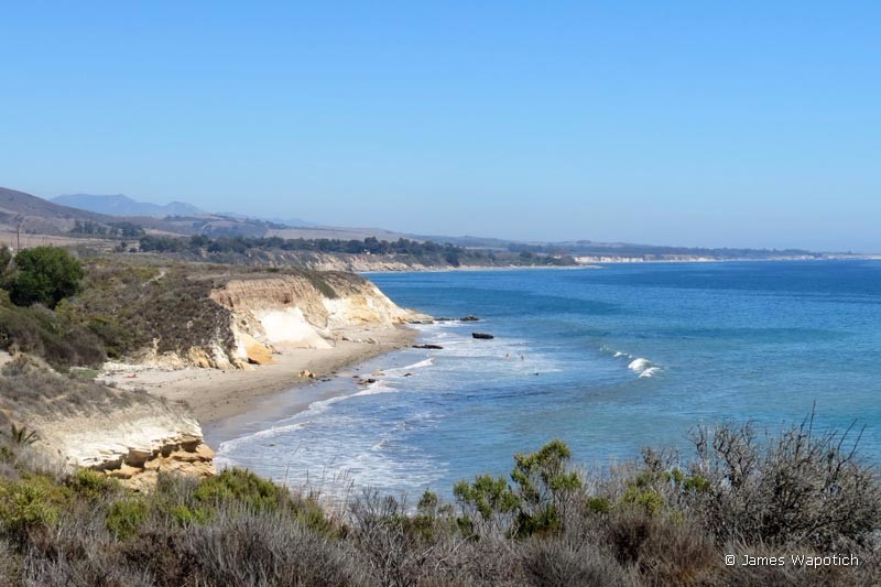
Aniso Trail The trail is actually a undulating paved bike path that follows the scenic Gaviota Coast line for the 2.5 mile stretch between El Capitan beach and Refugio beach. A segment of the trail is technically closed due to storm damage. Trail can be accessed from either of the State Beaches. Fees for day passes apply to those who park Read more...
Favorite
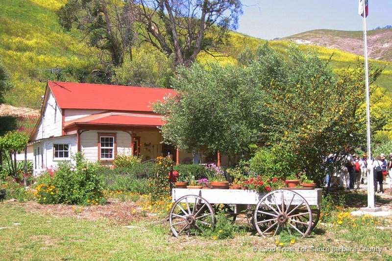
Arroyo Hondo Historic Adobe The earliest known inhabitants of Arroyo Hondo are from the Barbareno-Chumash civilization 5,000 years ago. Evidence of a permanent Chumash camp has been discovered buried deep in the lower canyon. Rancho Arroyo Hondo was part of the original 26,530-acre Rancho Nuestra Señora del Refugio Mexican land grant to former Santa Barbara Presidio Commandant Jose Francisco Ortega Read more...
Favorite
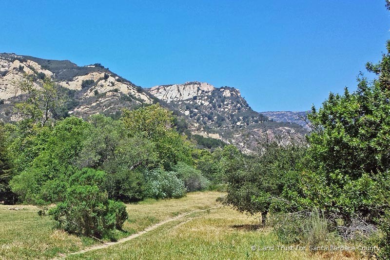
Arroyo Hondo Preserve Called the “Jewel of the Gaviota Coast,” the 782-acre Arroyo Hondo Preserve is a magnificent canyon located west of Santa Barbara between Refugio State Beach and Gaviota State Park. The old ranch is rich in early California history and has an abundance of outstanding natural features.Within its steep canyon walls is a hidden place of extraordinary beauty Read more...
Favorite
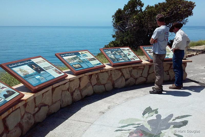
Arroyo Hondo Vista Point Scenic Vista If you forgot to bring your binoculars, no worry. Use the recently installed telescope and binoculars to scan the ocean for migrating whales and other distant objects. Interpretative Information Display The history of the Gaviota Coast is on display at this southbound turnout off Hwy 101 Arroyo Hondo Bridge The bridge was built in 1918. It was Read more...
Favorite
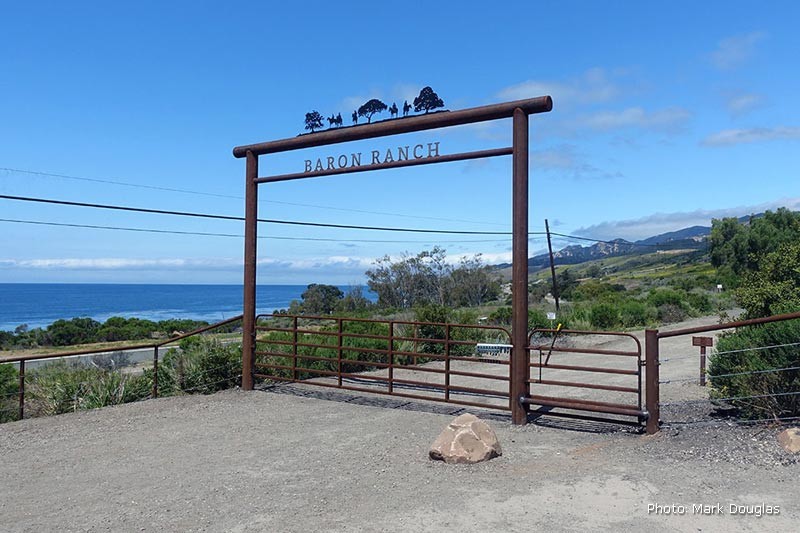
Baron Ranch Trails From the main Baron Ranch gate, follow the entrance road into the canyon that forms the Arroyo Quemado Creek watershed. The trail is well-marked and follows a network of ranch roads leading through a habitat restoration area and into the backcountry. The main trail is Arroyo Quemado Trail which begins at Calle Real and ends at Camino Read more...
Favorite
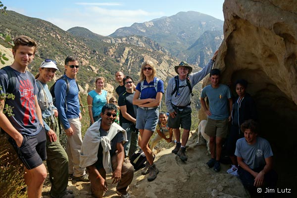
Beach to Back Country Trail Head Beach to Back Country Trail This trail is your access to the ever popular Gaviota Wind Caves. It’s a short walk with a steep start to get to the first cave. Please be careful as you explore the caves and be courteous by removing any trash or refuse. The caves are protected by law Read more...
Favorite
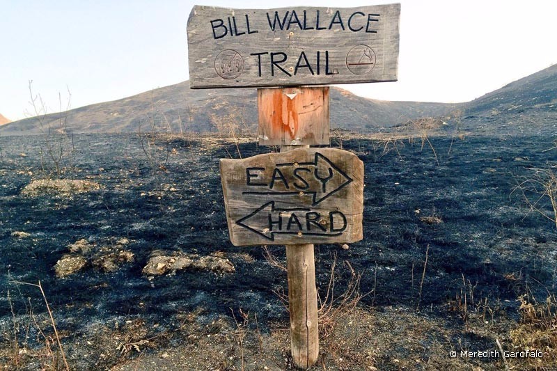
Bill Wallace Trail [ June 2016: The State Park lands that flank the Bill Wallace Trail have been burned extensively. Contact State Parks for a trail status update. ] The Bill Wallace Trail is in a 2500 acre section of the El Capitan State Beach that is north of Hwy 101. The hike is about 12 miles round trip and Read more...
Favorite
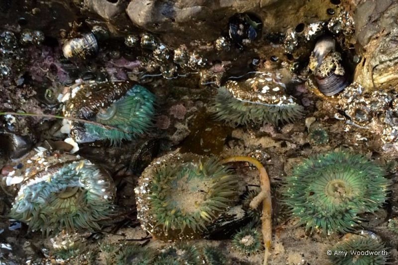
Campus Point State Marine Conservation Area Campus Point (aka Goleta Point) is a popular surfing and tidepooling area adjacent to UCSB. Learn More → Article on Boundaries and Permitted Uses at Campus SMPA published by California Marine Sanctuary Foundation Article published by California Department of Fish and Wildlife Map created by California Department of Fish and Wildlife Article in Wikipedia Article and Read more...
Favorite
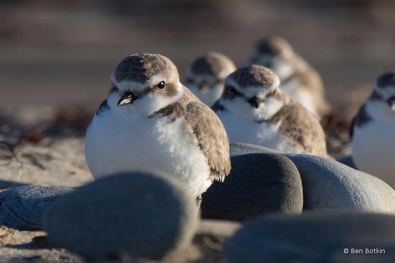
Coal Oil Point Natural Reserve One of the best remaining examples of a coastal-strand environment in Southern California, the Coal Oil Point Natural Reserve protects a wide variety of coastal and estuarine habitats. Largely undisturbed coastal dunes support a rich assemblage of dune vegetation and have become a nesting site for the endangered Snowy Plover. Learn More → Article by James Read more...
Favorite
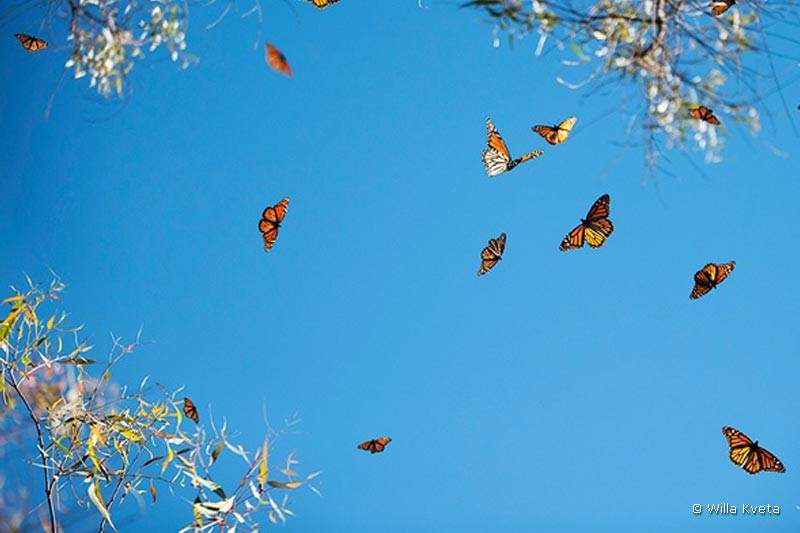
Coronado Butterfly Preserve The Coronado Butterfly Preserve is home to native coastal sage scrub habitat, eucalyptus groves and numerous birds and wildlife that thrive in this urban community treasure. The 9.3-acre preserve includes Devereux Creek, woodlands and meadows as well as trails, an outdoor gathering area and classroom. The Preserve is protected open space and acts as a gateway to Read more...
Loading...


