1-explore-baron-ranch-800x633-2
174_baron-ranch-trail-3
2-explore-baron-ranch-800x633-2

3-explore-baron-ranch-800x633-2
8-explore-baron-ranch-800x633-2
13-explore-baron-ranch-800x633-2
12-explore-baron-ranch-800x633-2
5-explore-baron-ranch-800x633-2
11-explore-baron-ranch-800x633-2
10-explore-baron-ranch-800x633-2

9-explore-baron-ranch-800x633-2
7-explore-baron-ranch-800x633-2
6-explore-baron-ranch-800x633-2

4-explore-baron-ranch-800x633-2
15-explore-baron-ranch-800x633-2

14-explore-baron-ranch-800x633-2
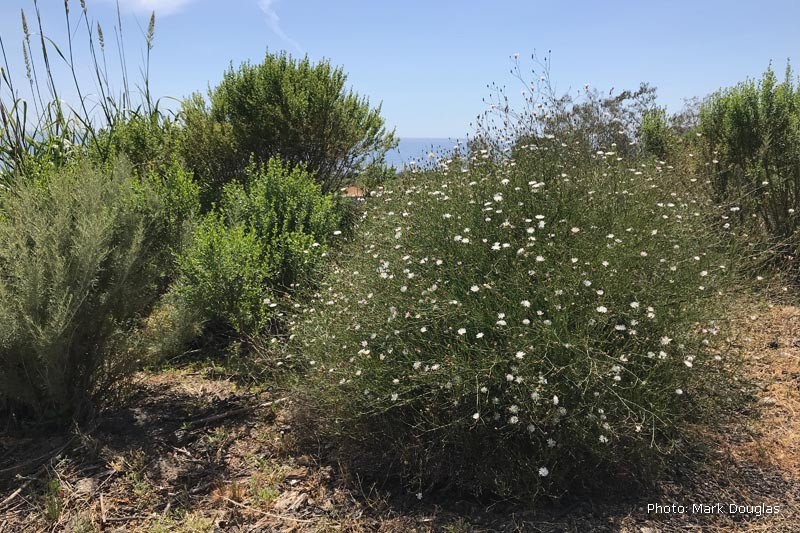
16-explore-baron-ranch-800x633-2
Baron Ranch Trails
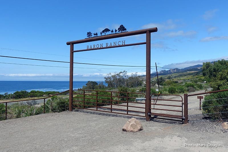
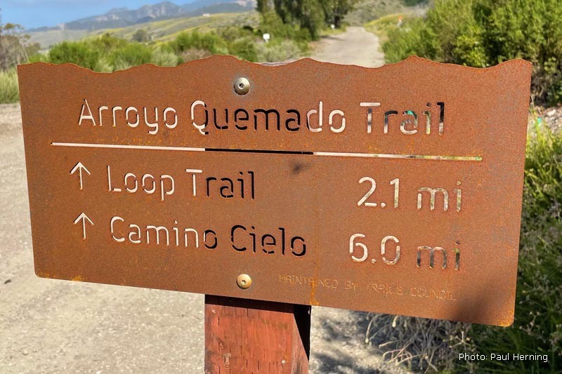
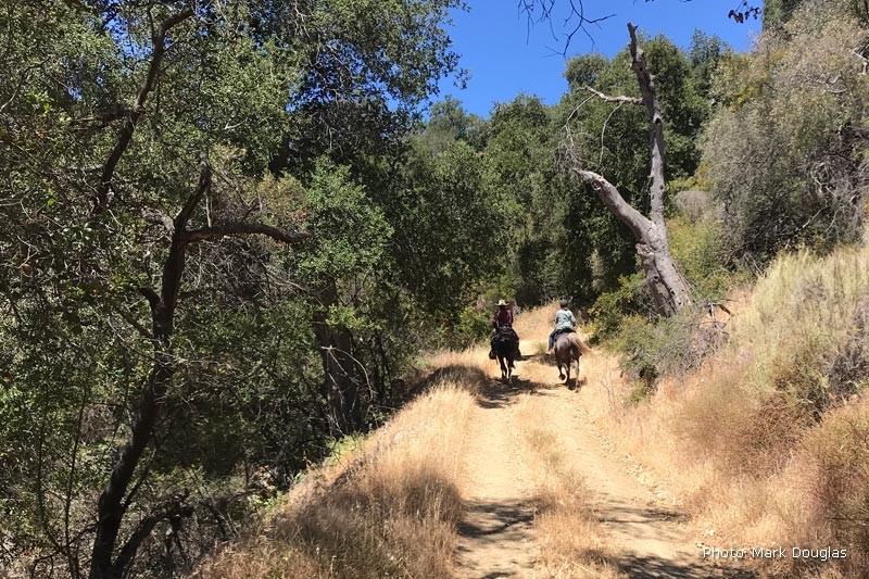
From the main Baron Ranch gate, follow the entrance road into the canyon that forms the Arroyo Quemado Creek watershed. The trail is well-marked and follows a network of ranch roads leading through a habitat restoration area and into the backcountry. The main trail is Arroyo Quemado Trail which begins at Calle Real and ends at Camino Cielo — spanning six miles or 12 miles out and back. The Loop Trail is available for those looking for a shorter hike. It is 6.5 miles out and back.
The first mile of the Baron Ranch trail system is relatively flat and follows the bottom of the canyon. Just beyond the one-mile mark, the road transitions into the riparian zone and continues to parallel the creek, it’s here that the trail starts to take on a more wilderness feel.
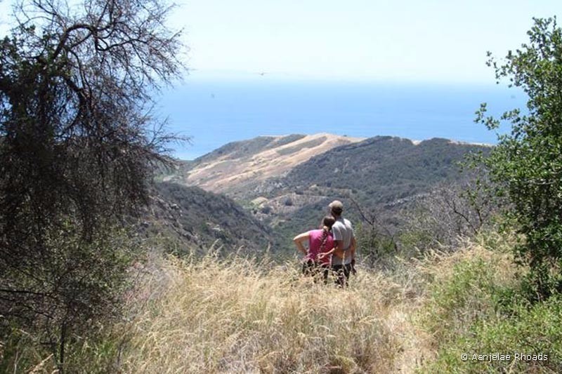
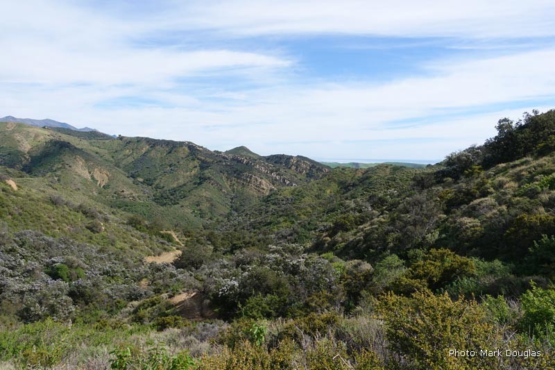
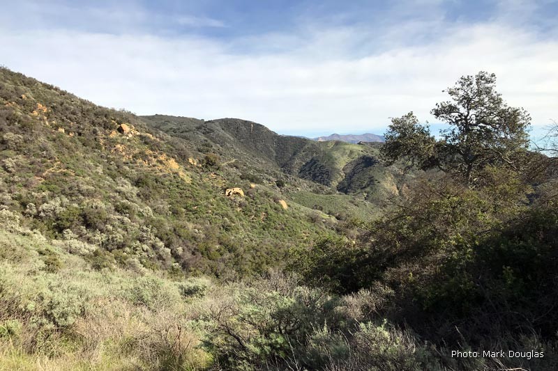
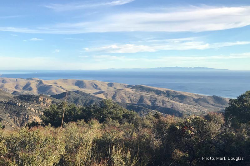
At 2.1 miles and 2.6 miles, the trail splits to form a loop up into the mountains. The upper portion of the Loop Trail provides some exceptional vistas down the canyon and out towards the ocean with views of the island on a clear day. Views along the canyons open up to reveal the Pacific Ocean and the Channel Islands. At the top of the loop, the single-track section of the Loop Trail trail connects again to a ranch road and then returns to the beginning of the loop and the main trail.
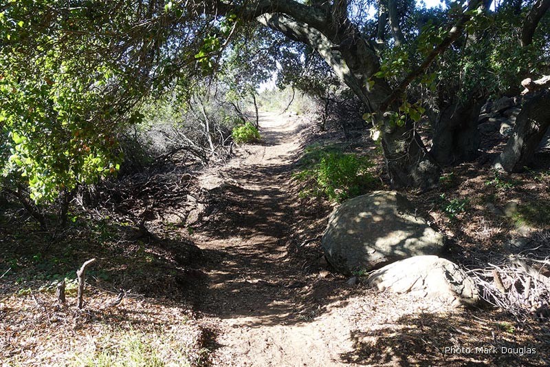
The Arroyo Quemado Trail forks to the left just 1/2 mile past the upper creek crossing. The trail follows a newly constructed single track for 3.4 miles up to Camino Cielo in the Los Padres National Forest. Alternatively, turn right and complete the Loop Trail by following a ranch road to a single-track path through the canyon’s upper reaches.
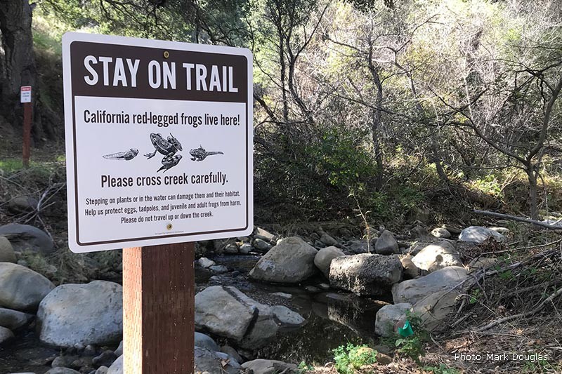
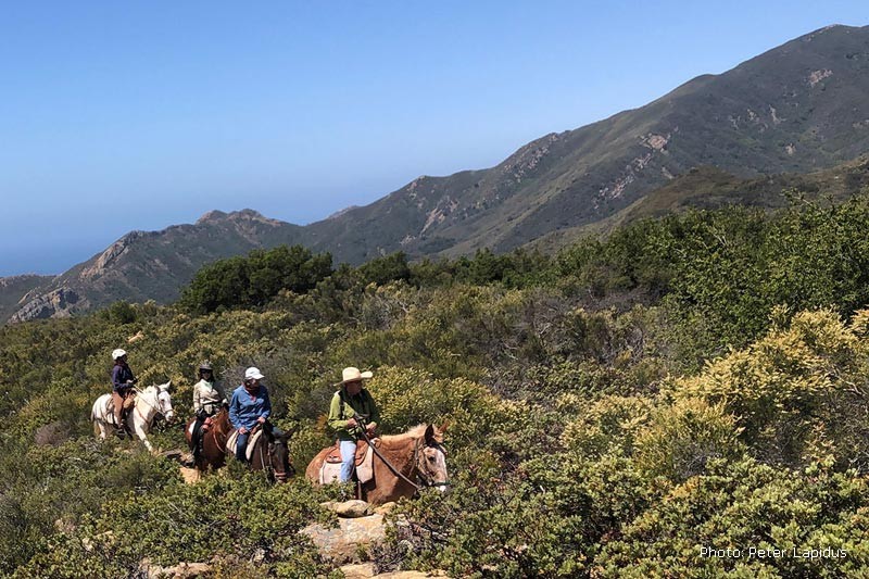
The trail is open seven days a week to all trail users. The designated trail is the only area of the Ranch open to the public. The public is prohibited from exploring other areas of the Ranch. These areas, including areas immediately adjacent to the trail, are used for native plant restoration and wildlife conservation.
It is important to stay on the trail. Hidden cameras monitor activities. DOGS ARE NOT ALLOWED. A full set of regulations, warnings, and recommendations is posted here. Trails that welcome dogs are listed in this dog-friendly trails link.
The Santa Barbara County Trails Council maintains the Baron Ranch Trails in partnership with the County of Santa Barbara Community Services Department, Parks Division.
Learn More →
Map: Baron Ranch Trails
Directions: Baron Ranch Directions
Make a Difference: Support Annual Trail Maintenance
Article by Tom Modugno: Baron Ranch History
Bird Sightings: Birds Seen on Baron Ranch Trails
Plant and Animal Sightings: Check out over 100 plants and animals
Article by James Wapotich at Songs of the Wilderness (2012)
Article by Valerie Norton: Baron Ranch Trails (2014)
Regulations and Warnings: Baron Ranch Trails (PDF)
Directions →
Directions from the South:
1) Hwy 101 North, 2.4 miles past Refugio Road exit turn right at the road crossing onto Arroyo Quemada Ln., just past a yellow sign indicating “cross-traffic ahead”. There is no northbound deceleration lane, so the turn-off must be anticipated.
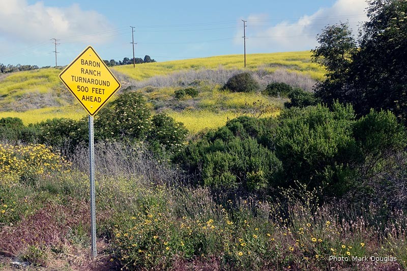
2) Immediately turn left onto Calle Real and proceed approximately .75 mile until the road reaches a street sign that says “End”. Use the circle to turn around and park along Calle Real.
Directions from the North:
1) Take Hwy 101 southbound, to Refugio State Beach exit. Exit 101 and go under the freeway and take the northbound Hwy 101 onramp. Travel 2.4 miles north and turn right at the road crossing onto Arroyo Quemada Ln., just past a yellow sign indicating “cross-traffic ahead”. There is no northbound deceleration lane, so the turn-off must be anticipated.
2) Immediately turn left onto Calle Real and proceed approximately .75 mile until the road reaches a street sign that says “End”. Use the circle to turn around and park along Calle Real.
Sorry, no records were found. Please adjust your search criteria and try again.
Sorry, unable to load the Maps API.
