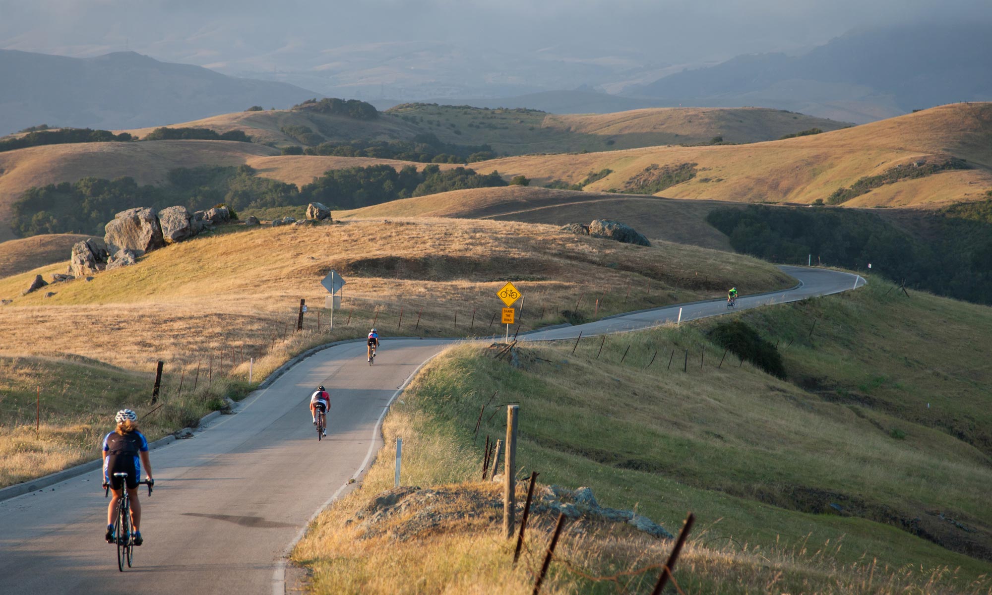
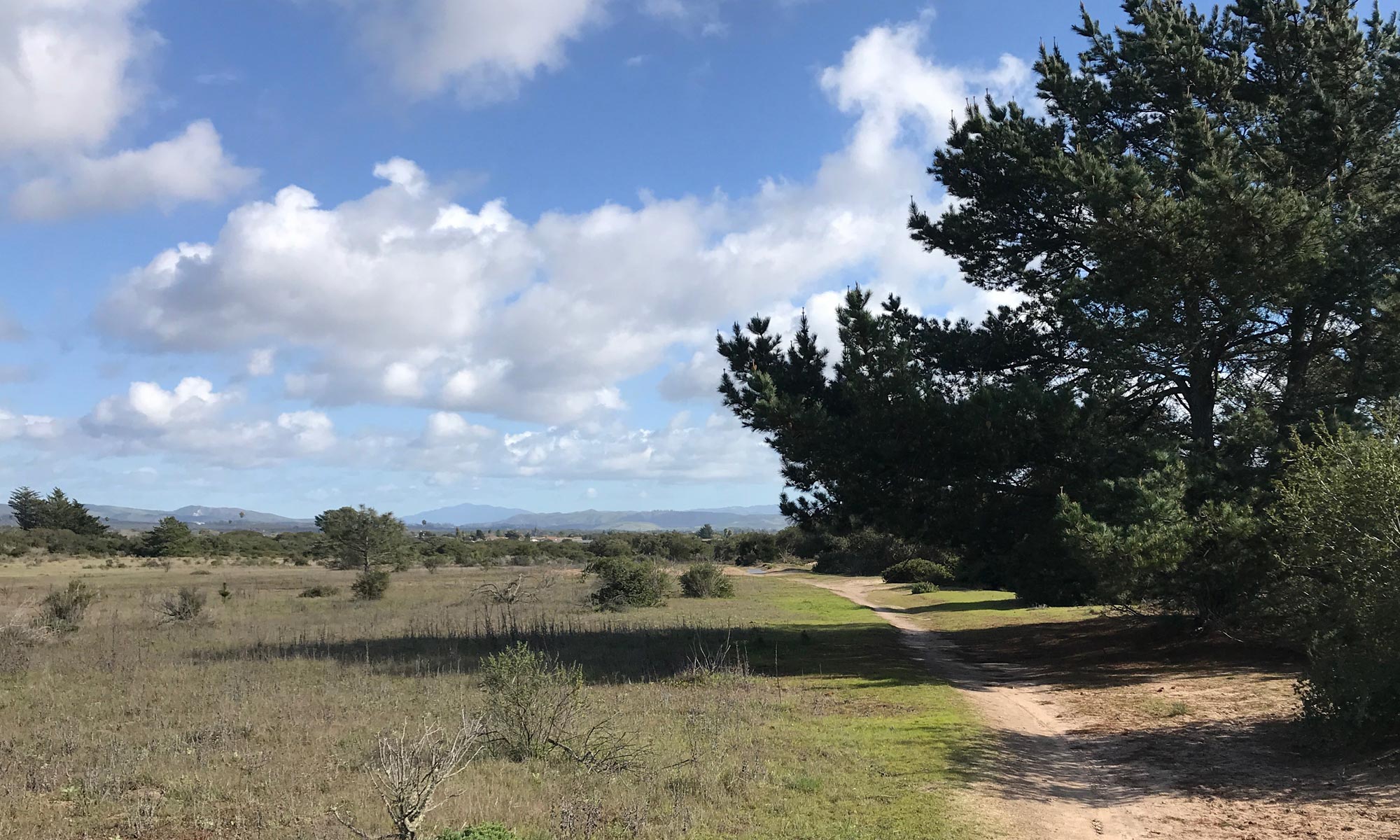
The Santa Barbara County Trails Council has been contracted by SBCAG to prepare the Northern Santa Barbara County Interim California Coastal Trail Alignment and Improvement Study. The purpose of the study is to identify an interim alignment of the multi-use trail through an analysis of constraints and opportunities. The limits of the study extend from the San Luis Obispo County Line to Gaviota State Park and include spur alignments to coastal accesses including Jalama Beach, Ocean Beach, Point Sal and Guadalupe Dunes. Alignments will be generally proposed on publicly owned land predominantly along roadway shoulders.
Once complete, the study will provide a more efficient, focused, and coordinated approach to future trail alignments and parallel infrastructure projects linking completed segments of the California Coastal Trail to the north and south of the study area and beyond.

