Favorite
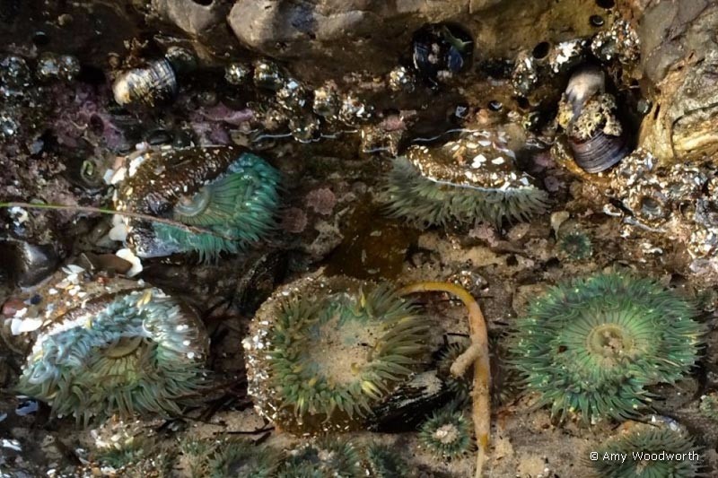
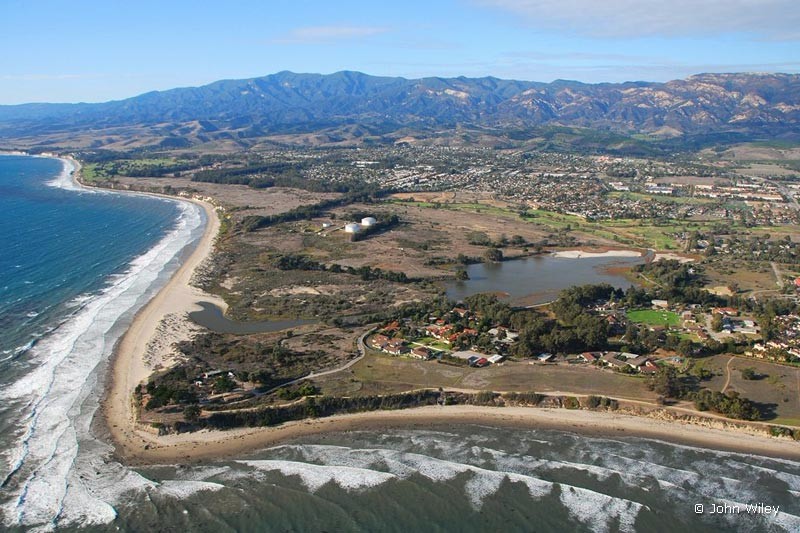
Campus Point State Marine Conservation Area Campus Point (aka Goleta Point) is a popular surfing and tidepooling area adjacent to UCSB. Learn More → Article on Boundaries and Permitted Uses at Campus SMPA published by California Marine Sanctuary Foundation Article published by California Department of Fish and Wildlife Map created by California Department of Fish and Wildlife Article in Wikipedia Article and Read more...
Favorite
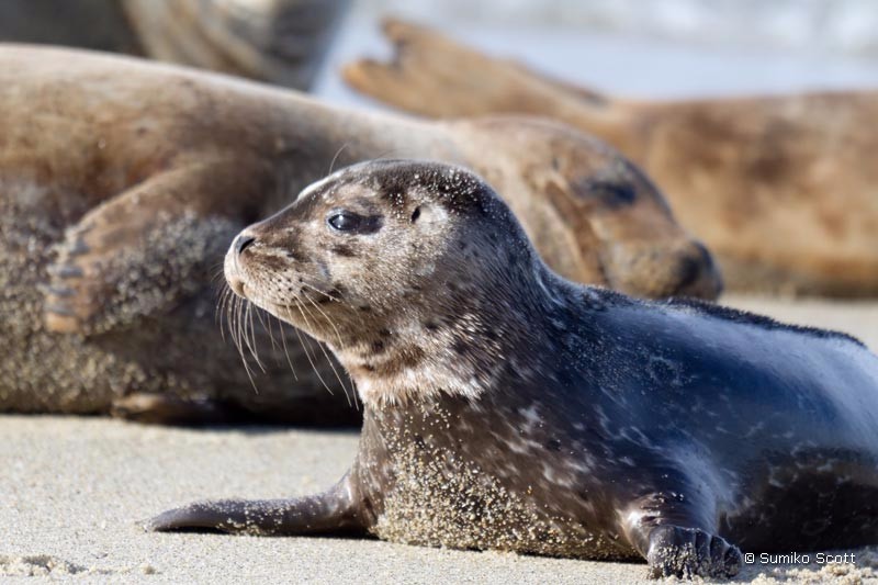
Naples State Marine Conservation Area Naples Reef offers a remote, wilderness-type dive for more experienced divers. Naples Reef features arches, pinnacles and ledges filled with colorful anemones, nudibranchs and cowries, along with reef fish like kelp bass, sheephead and even the occasional white sea bass or yellowtail. Marine mammals including sea lions and harbor seals also frequent the area. Look Read more...
Favorite
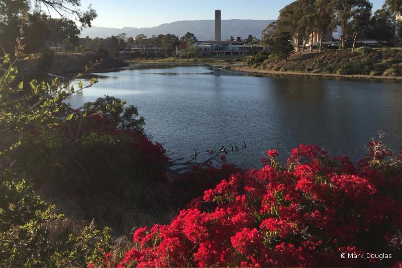
UCSB Lagoon Trail The gateway to the lagoon trail is at the end of Lagoon Road on the east side of the UCSB campus. Parking fees are required for designated coastal access parking spots. The trail along the north side of the lagoon is paved, while the south side is a combination of dirt, sand and paved surfaces. The 1.5 mile Read more...
Favorite
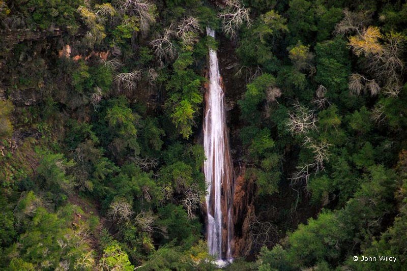
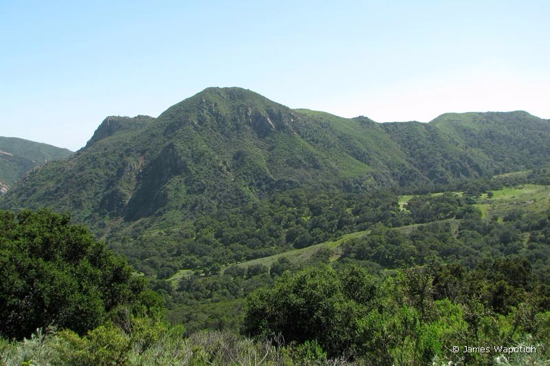
Nojoqui Falls Trail More information coming soon Learn More → Article by James Wapotich at Songs of the Wilderness Article by Seth Smigelski at Hikespeak.com Read more...
Favorite
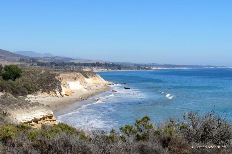
West Campus Bluffs Trail The West Campus bluffs area sits just west of Isla Vista. The West Campus Bluffs Trail is accessed off of Camino Majorca Road. This trail leads to a network of trails throughout Coal Oil Point Natural Reserve and the adjoining Ellwood-Devereux Open Space areas. Read more...
Favorite
Las Cruces Trail Head Las Cruces Fire Road Trail The trail system here begins on the Las Cruces Fire Road Trail. If you follow the road uphill it will connect to the Hollister Ridge Fire Road Trail. You can also access the Yucca and Ortega trails at the lower end of this road. NEARBY TRAILS → Yucca Trail Yucca Trail Read more...
Favorite
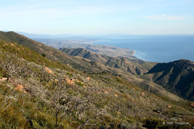
Gaviota Peak Trail Head Gaviota Peak Trail The hike to Gaviota Peak is a challenging 3 mile uphill climb with spectacular views of the Pacific Ocean and the Channel Islands at the summit. The trail is actually a fire-road which can be followed back down for a return trip, or you can make a loop by hiking over the peak Read more...
Favorite
Aniso Trail The trail is actually a undulating paved bike path that follows the scenic Gaviota Coast line for the 2.5 mile stretch between El Capitan beach and Refugio beach. A segment of the trail is technically closed due to storm damage. Trail can be accessed from either of the State Beaches. Fees for day passes apply to those who park Read more...
Favorite
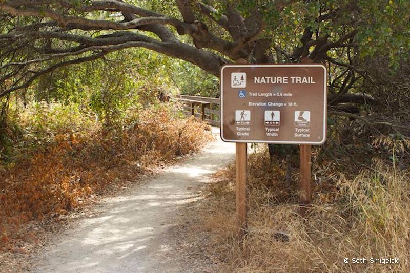
El Capitan Nature Trail Learn More → Article by Seth Smigelski on Hikespeak.com Read more...
Favorite
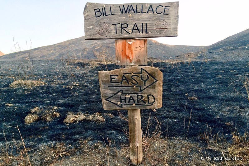
Bill Wallace Trail [ June 2016: The State Park lands that flank the Bill Wallace Trail have been burned extensively. Contact State Parks for a trail status update. ] The Bill Wallace Trail is in a 2500 acre section of the El Capitan State Beach that is north of Hwy 101. The hike is about 12 miles round trip and Read more...

